On Saturday, May 6th, we engineered a Sunday, May 7th passage from Port Ludlow to Parks Bay, Shaw Island in the San Juan archipelago. Our intent was to make our transit as pleasurable as possible. I describe it as engineered… because we developed a depart and passage strategy that integrated the collection and analysis of many diverse data points. We reviewed recent regional weather patterns, local weather predictions, reported and predicted wind direction and force, current maps covering the course of our passage. All points led to selecting the most advantageous depart time, the overall time needed to attain our destination and more. The transit course designed was a hair or two over 42 miles. Along our Sunday transit, we experienced placid seas, favorable currents and fair winds. A successfully engineered transit, eh?
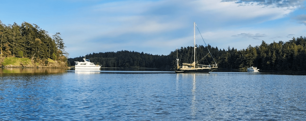
Our destination anchorage, Parks Bay, was quiet. Only two other boats were in the anchorage. During a leisurely postprandial conversation… we discussed amongst other topics, where we’d go in the morning. From Parks Bay, there are numerous, excellent places to anchor or pull up to a sturdy dock if re-provisioning, water or fuel are needed. The weather was going to be placid for the next 5 days or more. Wind protection was not an important concern. We weren’t in need of a sturdy dock or “topping off” anything. Morning currents favored traveling North and West from Parks, which led to the nomination of Prevost Harbor on Stuart Island as our next destination. It is one of our favorite anchorages and a mere 12.3 nautical miles (NM) away from Parks. And, if we left early enough, the powerful currents around Spieden and Johns Islands would be flowing with us, not against us. The navigational conundrum concerning the Speiden Channel and its patch of islands, reefs and rocks, once you’ve laid a course to avoid hitting anything hard, is to time your transit to take advantage of the currents that can easily attain velocities up to 5 knots. In your face or in your favor. You decide.
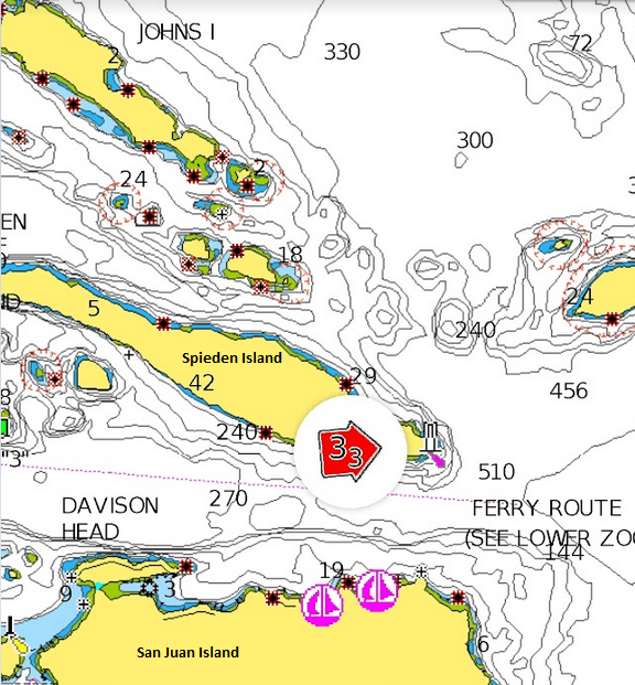
Considering the cost of fuel, it is best to time a passage that puts the currents on the favorable side of your navigational planning. In our case, a morning depart was best.
08:00 We exited Parks at 0800, entered the San Juan Channel, and proceeded Northwest up Channel.
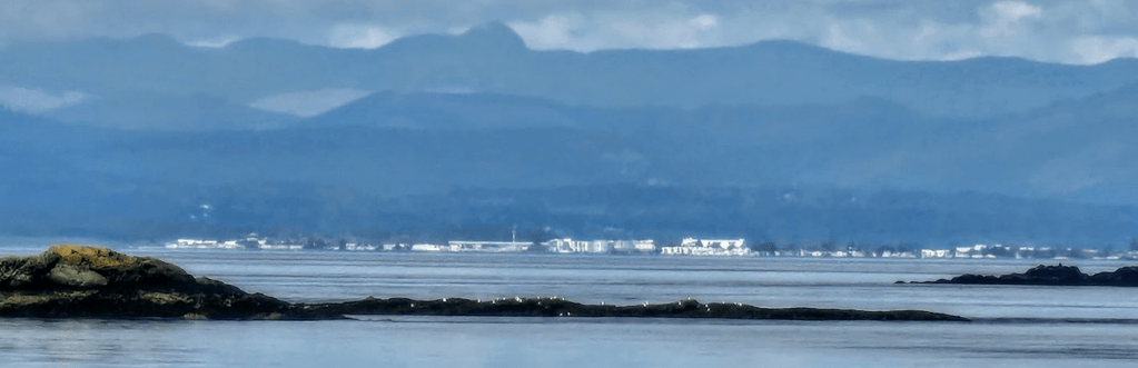
09:20: Leaving Limestone Point on San Juan Island, far off our port side, and looking down Spieden Channel, I took this picture of Sidney, BC, just 12 nautical miles away. We will check into Canada at the Sidney customs dock soon.
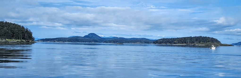
09:23: We passed North of Spieden Island, Ripple Island, Johns Island. Spieden on the Left Ripple on the right and Stuart Island in the middle distance.
Passing Ripple and Johns islands, we made our way round Satellite Island and slipped into Prevost. 2 hours 15 minutes from anchor to anchor. All in a mornings work. The rest of the day we play…
Enough writing. I’ll put together a picture blog of what we did at Prevost, then Sucia, after that, East Bay, Orcas Island. Then we’ll be all caught up! For now… I’ve got to hunker down in the engine room and evaluate how I’m going to repair a leak in a diesel transfer pump. It has the assigned task of tranferring diesel between the port and starboard fuel tanks. Though it may have a differing opinion… it is not an essential pump. But… we can’t have it spraying a fine mist of diesel into the air when it is activated…
Hmmm… now where are my spare o-rings… My engine room storage list states that “box C” is where they are located. Well, I hope I’ve got the right size… Gasket material? Hmmm… might need that too…
Cruising about in a boat… nothing more than fixing your boat in exotic places, eh?
