Our Cruising Platform: Great Northern, a DeFever 53 Performance Offshore Cruiser
Sucia Island, San Juan Island Group, 11/14-11/16/22
A very long time ago I was looking at a nautical chart of the San Juan Island Archipelago. It was probably 40 or more years ago. Les and I had since moved to Southern California where we’ve spent the last 40+ years developing our careers and seeking our fortunes. As I cast my eyes about the chart I had… I thought about times I’d spent up in the San Juans fishing, diving, camping, boating… the usual pursuits of youth. I spent most of my time up there on San Juan Island, but further North… there were these two Islands: Sucia and Patos. Sucia was particularly interesting with its long fingers gouged out by the scraping and weight of mile thick ice slowing sliding South over the landscape.
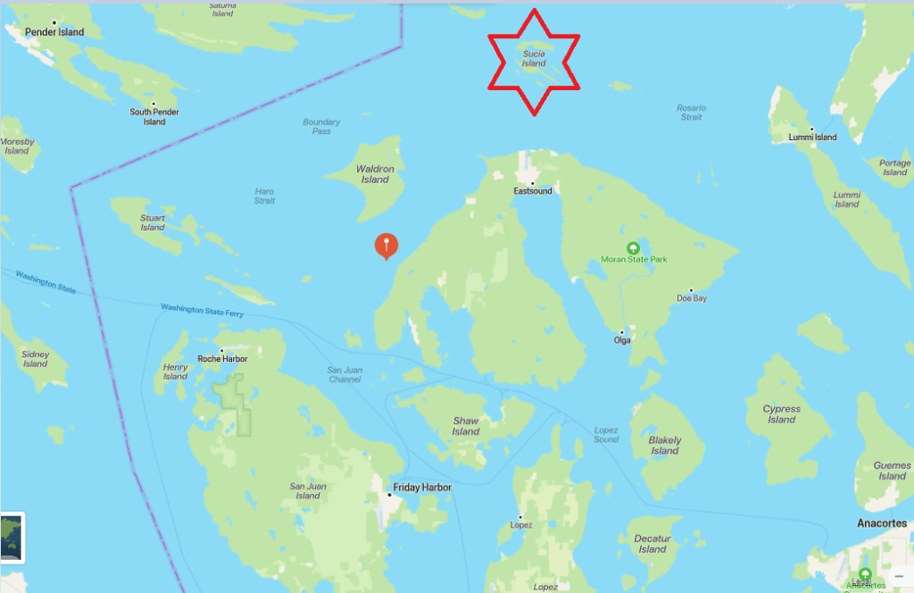
An overview… Sucia Island (starred) is one of the furthest North Islands in the San Juan Archipelago. Only tiny Patos is further up the Strait of Georgia.
Looking at a larger scale view… Sucia is “out there” and one of the first of the San Juans to bear the brunt of any storm winds that come out of the NorthWest, scooting down he Strait of Georgia and bumping into the Islands. It is a place where it makes good sense to watch any developing weather systems.
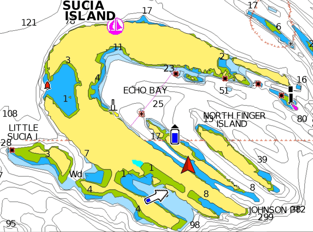
Les and I finally made it out there last year and anchored in Echo Bay’, the largest open anchorage on Sucia. There was a mild SouthEasterly wind blowing right through Echo Bay at the time. It was enough to cause us to rock all night long, and since it was fairly crowded at the time we decided to leave in the morning and retreat to a more protected anchorage to the South.
Sucia is actually its own little archipelago consisting of 10 little islands Sucia being the largest. We are anchored in a delightful spot just South of South Finger Island.
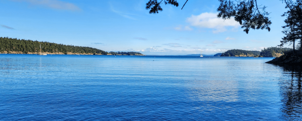
We were docked at the Ludlow Marina, our winter home port, and in mid-November high pressure systems in the NorthWest gave us a weather window of low winds, sunny skies and opportunity. We took advantage of that and undertook a late Autumn cruise up to the San Juans. Sucia, Rosario, Friday Harbor, Prevost and Garrison were our targets. After our passage across the Strait… we anchored in Hunter Bay for the evening and took off for Sucia in the morning and found a wonderful anchorage in the channel just South of South Finger Island:
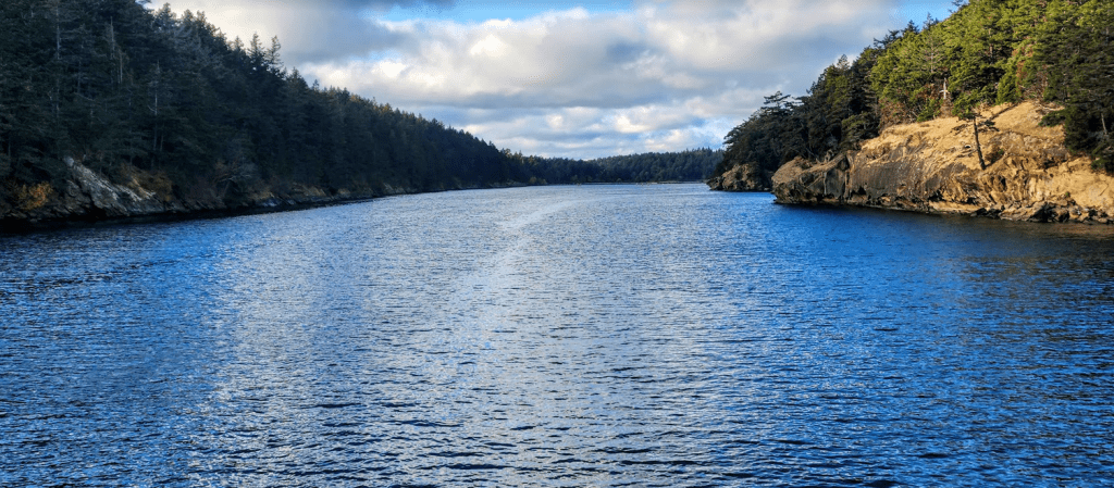
Our view to the North from the pilothouse.
Our view to the South from the back deck with Matia Island in the distance.
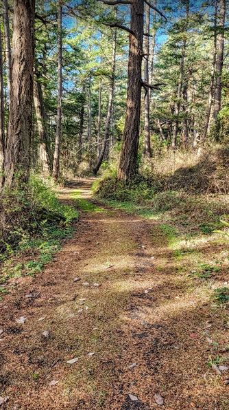
We launched the “chariot” from the flybridge deck via crane, loaded the gear for a hike and swizzle swazzeled our way out of our “finger” anchorage into the Salish Sea. Steering West we passed Snoring Bay and angled our way into Fossil bay. That makes it sound like a long way. It was about a quarter of a mile… and what a bay. The chariot is the only human based contrivance in the area… and the weather: glorious!Just up from the Fossil Bay dock… the forest begins a subtle takeover.
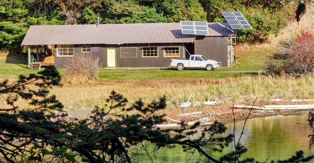
Just 300 meters down a southerly tending trail we find the winter encampment for the local ranger. We walked through a boggy / marshy trail… passing the residence and made our way further into the island.
Just 100 meters later we are again wending through our temperate forest…
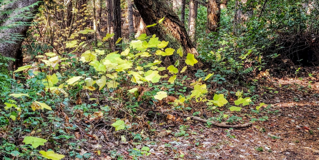
Nothing to see here… move along… move along… Just some kind of maple beginning the change…
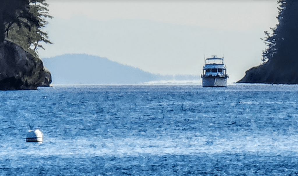
Next up after about a kilometer or so: Echo Bay. In the summer there might be 75-100 boats anchored within its outstretched arms. Not so much now. When we came back through a hour later both anchored boats were gone.
Dude! What you looking at! The little speck just South of South Finger Island… from the beach at the head of Echo Bay
Great Northern. Anchored. Just there. Now isn’t that just a spectacular shot. Hand held cell phone camera none the less…
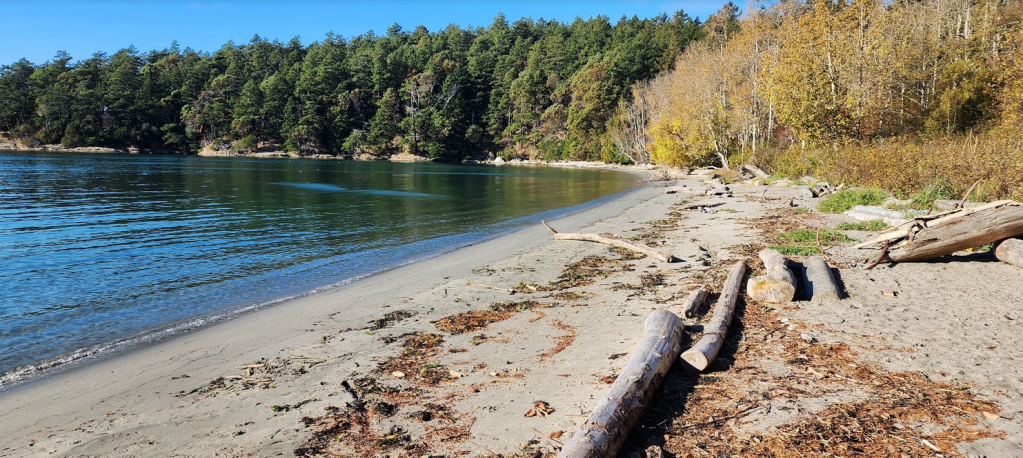
We continued on a northerly path to Shallow Bay, West Sucia. One of the best sandy beaches around these parts… a kayakers mecca, and one of the stops on our afternoon stroll. Eye candy for the SoCal peeps.
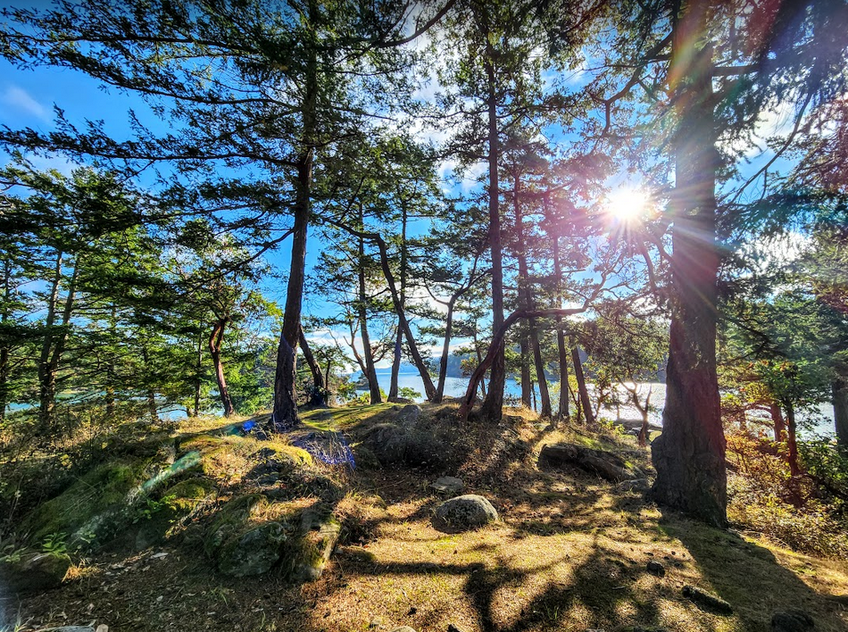
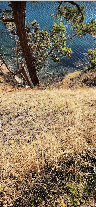
We made our way back towards Echo Bay and followed a trail along its NorthEast shore. It was a bit rugged and hugged an area just above the cliffs…
It was steep and it felt like there was significant exposure… no room for error.
Its a long way down folks…
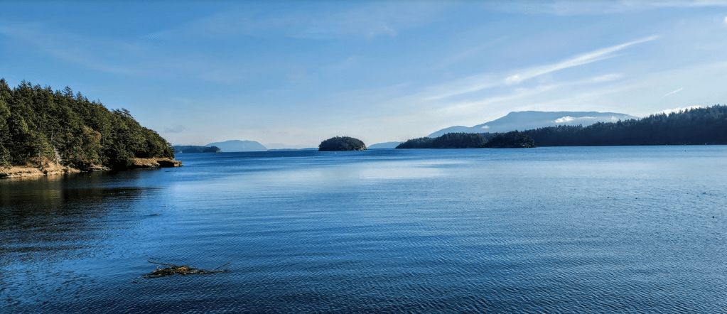
Mount Baker and Friends. A view across Echo Bay to the East.
Echo Bay looking to the South. Starting with the left bank you can see Maria island in The distance, North Finger Island, and to the right: South Finger Island with Orcas Island hovering behind South Finger Island.