
It’s March… when vast quantities of moisture laden air make their way from their birth zones and carried by the wind, travel across the Pacific Ocean seeking landfall. Collision with coastal topography is inevitable, and the sea level to nearly 8000 foot upthrust of Washington’s Olympic Range provides an excellent example of what happens. The moist air forced up and over Olympus, Constance and the rest of the Range condenses the vapor into water droplets which are squeezed from the clouds. Most of that moisture lands on the coastal slopes. Oh yes it rains here in Port Ludlow, Port Townsend and Sequim, but it is nothing like the precipitation experienced on the coast, alluvial fan, and jagged peaks of the Olympics.
Look closely at the cloud picture. You can see how the drifting mass of vapor appears to snag on the ramparts of Mount Constance, become ragged, and break into a chaotic dance: swirling… dissipating, becoming vestigial wisps of the moisture laden air that has been “air dried” by the time it reaches Port Ludlow and surrounds. It may seem wet here in Ludlow at times, but the majority of the moisture load lands on the Western slope creating a vast temperate rain forest… … a place that should be on everyone’s bucket list to visit…
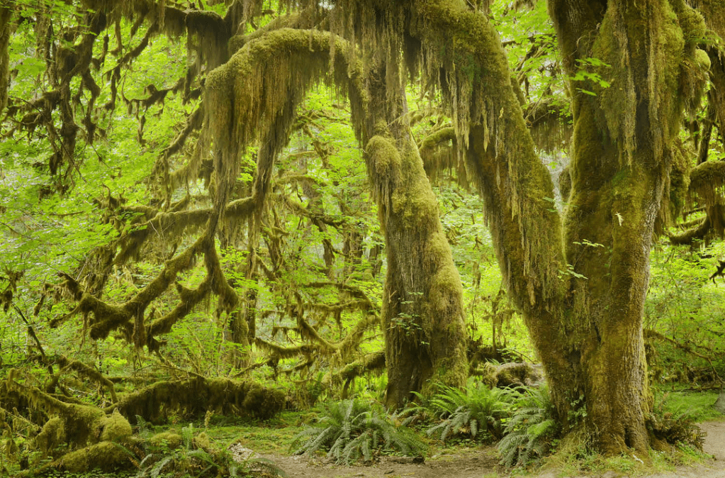
Oh… we do have our moss enshrouded trees on our side of the Range, but compared to the Hoh pictured above, we live in a rain shadow provided by the Olympics. We receive a mere 24 inches of rain on average per year here. Seattle gets 40 inches, Olympia 53, and out at the coast, the Hoh rain-forest gets up to 170 inches. Compared to them, we are comfortably moist.

Love that moss. I remember visiting the Hoh once and talking to a
ranger. He said he had waited patiently for weeks for a non-rainy day to
paint the railing around the visitor center. The day of our visit was
the day, so he painted – then it rained as we watched the paint being
slowly washed off the railings. It rained and rained, but we had good
raincoats.
LikeLike