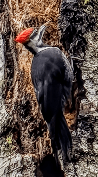
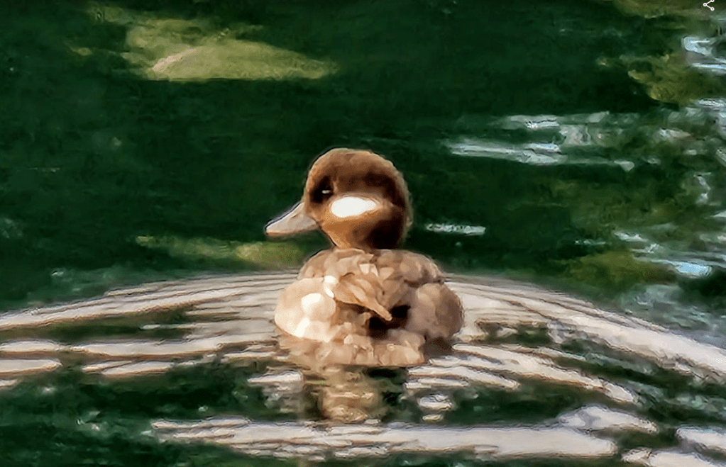
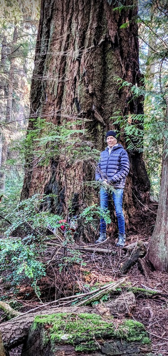
A prequel is in order. An amalgam of hike generated inspiration, a bit of cabin fever, and being low on fuel. Those formed the pre…peri… and post requisites for a mid-winter adventure. One moment we we were marching around our local trails, communing with the denizens of our Northwestern woods:


The Pacific Northwest is a land of woodland magnificence riddled with mountains, fjords, bays, lakes, rivers streams and wildlife. Traversing through it on foot or by boat kindles a calming palliative for the soul. The slower the better. Move too fast and it easily becomes a tangled blur. Four years into my retirement… I’m finally getting to the realization that there is no “too slow” mark on the dial. Oh sure… if you turn the dial clockwise… it covers the gamut: serene, meditative, calm, awake, alert, focused, frantic and frenetic with quite a few points in-between… but there appear to be no markings below serene, yet the dial still turns freely in the counter-clockwise direction. My advice of the moment to self and others… is to turn down the “dial” and experience what that feels like. Oh you can easily bounce right back to frenetic. No worries there. Just a quick drive to Seattle will suffice. But do attempt to spend more time in the slow lane… But I digress. On to the adventure part of this post.
We had a need to top off Great Northern’s fuel tanks. We were down to 150 gallons of diesel. That represents an ability to motor 150 nautical miles in the fast lane with engines at 1800 rpm with a speed of 10.5 knots, or just shy of 300 miles in the more sedate slow lane, throttling the rpms to 1600 with a boat speed around 7.5 knots. And yes… it does help immensely if you pay attention to currents and wind.
So… on the morning of January 30th, 2023, a Monday, and spurred on by and urge for some winter vagabonding, we unplugged and stowed our dockpower lines, removed and stowed our dock stairs, plotted a southerly course, tossed off the dock lines and motored out of Port Ludlow. Damn the torpedoes and straight ahead!
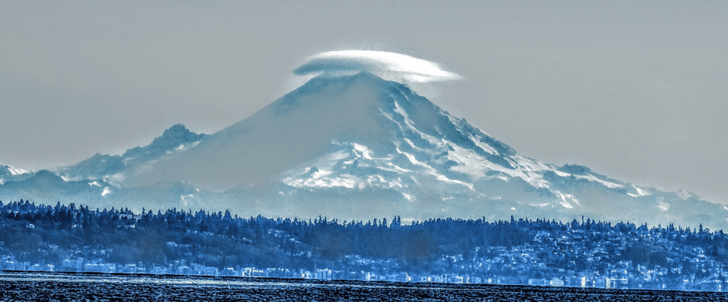
Twas a glorious mid winter morn. Robin egg blue sky. 40 degrees. 5-10 knots of Southerly wind. Destination: Des Moines for a fill up… or so we originally thought. We didn’t make it to Des Moines. Oh… no disaster… no disaster. After all… Rainier was monitoring our progress and taking note of our slow progression.
Reluctance to move out of the slow lane was the issue. Our linear progression from Ludlow to Des Moines was as predicted. It was clear that we would reach the Des Moines fuel dock in time for a leisurely refuel. 350 gallons or so. But… that would mean departing the Des Moines fuel dock after 1630… and traversing the southern shores of Maury and Vashon Islands, Commencement Bay, Dalco Passage and arriving at our intended end point, the Tacoma Yacht Club reciprocal dock… all long after the sun would have taken her bows and been replaced at center stage by darkness wearing his ebony cape. So, in mid stride and with little discussion we modified our navigational plan and implemented plan B… or was it plan C. I can’t remember and it doesn’t matter now does it? We always chart a plan with options based on weather, traffic, currents, wind and and anything else that ruffles Plan A’s sensibilities and makes it less desirable. At issue: We don’t like driving the boat in the dark.
Oh, it’s not what you think. We’ve got 3 radar units, two depth sounders, 2 chart plotters, 2 smart phones both with nav apps, 2 tablets with nav apps, a laptop with a completely different and separate nav app… all that can inform us within a few meters of where we are with respect to our course, the location of other boats and hard non-moving objects like rocks and shoreline. What all that equipment can’ t tell us is the location of floating objects without a captain at the helm: Deadheads, logs, packing crates, rafts of kelp tied up with tree branches and the oddity: huge, mostly submerged trees floating about, complete with sharp, branches and roots poking out of their root balls. One, a large Douglas Fir had been leaning out towards the beach on Southeast Maury Island for years. The clay and gravel cliff it perched on had been eroding for hundreds of years and finally, after losing its base of support, it toppled onto the beach below. A common enough occurrence. A King tide floated it and the currents associated with the flood was slowly moving it towards Commencement Bay. Imagine that wooden object, 190 feet long… mostly under water. Sharp branches… hugely heavy… and running into it at 8 knots. In the dark.
Close your eyes. Huge bang. Dead stop. Engine still running in forward. Groping for the engine controls. Neutral. Engines idling. Whatever was not tied down is now rolling around in the salon and galley. The shock of wondering “what the hell”? And knowing for the most part that going from 8 knots to a dead stop is not good. Just as you are wrapping your mind around possible explanations, the bow compartment high water alarm starts to shriek. It’s no shrinking violet that one. It’s a bone chilling shriek. It’s not designed to be polite. It’s purpose is to motivate. The engine room high water alarm sputters into its ear piercing tune. It’s a different sound. It’s supposed to be. High water alarms shrieking. High water dash lights shining bright red. Note the petrified look in the Co-Skipper’s eyes… Now open your eyes and understand why we don’t like to drive the boat at night. Leo’s Rock up in the San Juans was not named after an incident that happened in broad daylight.
Yes we have 3 radios to contact the coasties. Yes we have a life raft. Yes we have certified cold water survival suits. Yes we have a highly functional skiff that we just might be able to launch before we couldn’t… and amongst all the turmoil: Where’s Leo!!
So you suspect that there might have been a timing miscalculation embedded in our Plan A. Perhaps. So, duly noted, and having already passed Plan B, Kingston Harbor, Plan C, Port Madison, Plan D Eagle Harbor, we calmly initiate Plan D and and set our navigational sights on spending the evening and night there on Bainbridge Island. We followed a ferry into the harbor and tied up at the public dock. Plenty of room. It is winter after all. We paid the small fee. Uncorked a nice bottle of Gil and put together a wonderful dinner. Des Moines was now a Plan A option for the morning. Plan B was Blake Island. Plan C was the Tacoma Yacht Club recip dock. At some point we’d get to Des Moines. We still had 135 gallons of fuel and slept through the night with darkness smugly hovering on center stage. In the morning, Dawn entered stage left, calmly walked over to stand in front of darkness and kissed him lightly on the cheek. With that best of wake up calls… darkness performed a slow pirouette and faded off stage right. Dawn’s shimmering aura provided enough light for us to prep GN for depart, and at 0800 we left Eagle Harbor and implemented Plan A: Des Moines. Aside: It is always a good thing to have alternate plans B and C. Just in case.
After leaving Eagle Harbor, we crossed over the shipping lanes to make our way along the easterly Shores of Puget Sound. We were now closer to Rainier, and just as we rounded Three Tree Point Light… She was there. Winter incarnate, eh?

Refueling was easy. Navigate past the breakwater to the fuel dock. Spin a 180 in front of the dock using engines and thrusters, tie up and refuel. Leave the fuel dock, exit the marina, recross the shipping lanes and traverse the southern shores of Maury and Vashon Islands, Commencement Bay, and Dalco Passage to arrive at our intended Plan A end point: the Tacoma Yacht Club (TYC) reciprocal dock… all done in perfect… daylight. And, as we’d had a fairly high tide the night before, there were quite a few logs in the water that we had to sashay around to get there…
We spent two days in Tacoma… and went on a nice long 6 mile hike starting at the TYC recip dock, past the Point Defiance ferry landing and Point Defiance Marina, along the bulkhead to Owens Beach, a favorite family haunt when I was growing up.
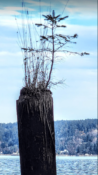
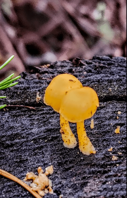
From Owens Beach we walked up to the Point Defiance Spine Trail and wandered along that out towards the end of the Park. It was a trail that Les and I used to jog on when we lived in Tacoma many years ago. We took a few of the smaller branch trails and on one of them found this beauty:

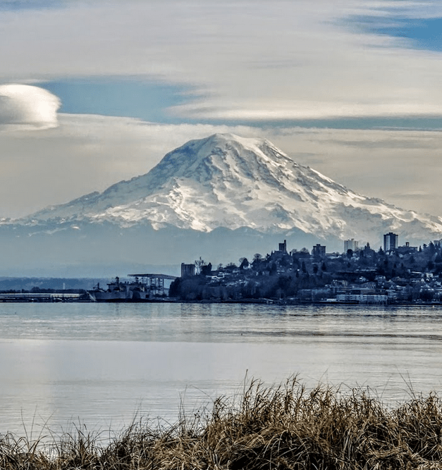
We walked through the Japanese garden and pass the old Pagoda, all closed for winter. It appeared a revamp of the garden was in progress. We took the Wilson Way Pedestrian Bridge from the Park back to the marina, and took this picture from Ruston’s Dune Park: Rainier dressed in a benevolent mood…
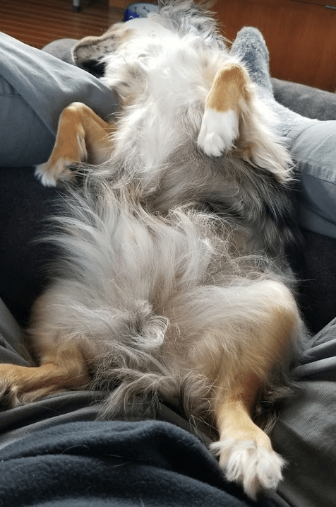
After a nice relaxing lunch at the Club we retired to Great Northern for naps. Leo was the first to succumb to slumber… He usually is.
Thursday morning we left Tacoma Yacht Club and made our way to Gig Harbor where we found the Gig Harbor Yacht Club recip dock open. Per Predictwind and Windy weather apps, the weather was reverting to a wintry soup of higher winds and rain… rain… rain. So after our two day stay, we decided to leave Gig Harbor and make our way back to Port Ludlow. We had favorable currents all the way back and averaged well over 9 knots over ground and 7.5 knots through the water. A dock to dock passage under 5 hours… and a minimal fuel burn.
A leisurely 6 days: A successful mid-winter Pacific Northwest cruise.
