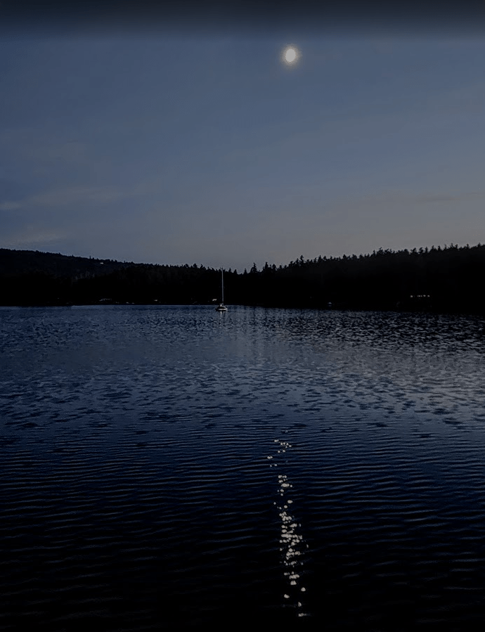
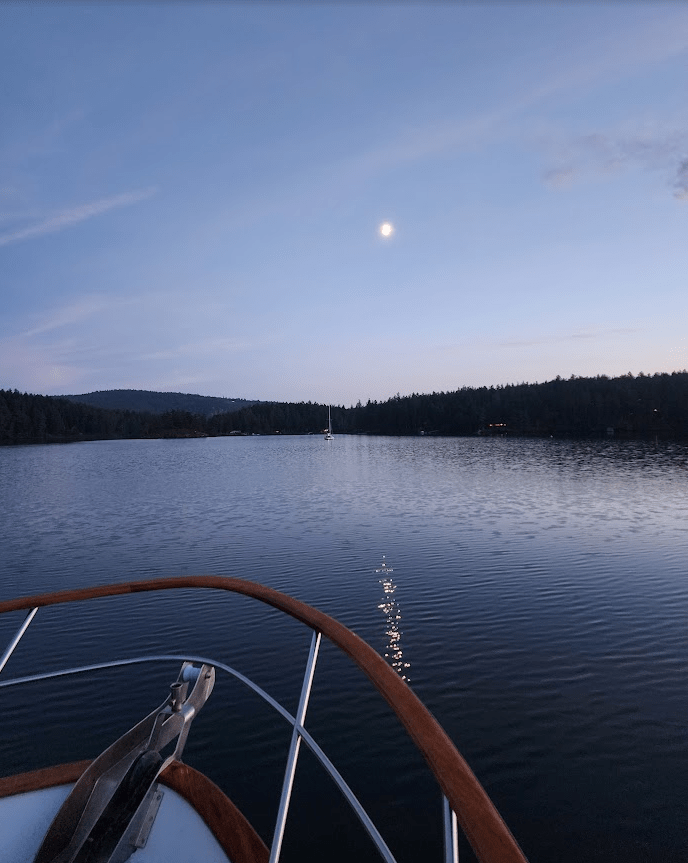
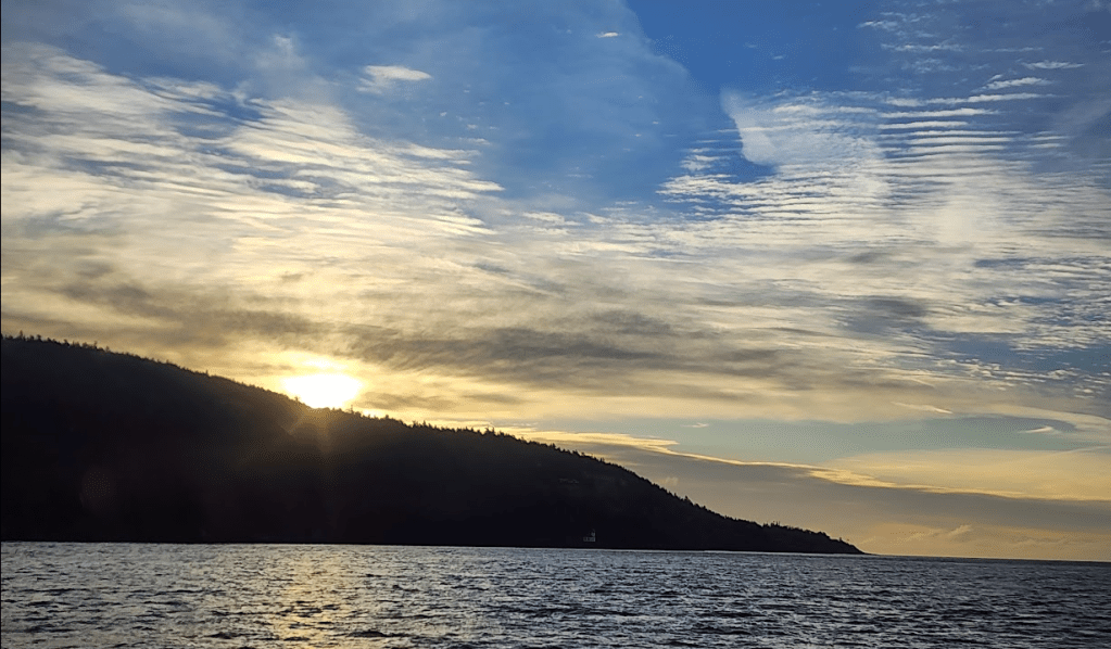
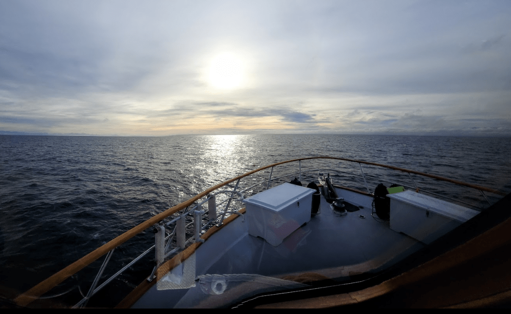
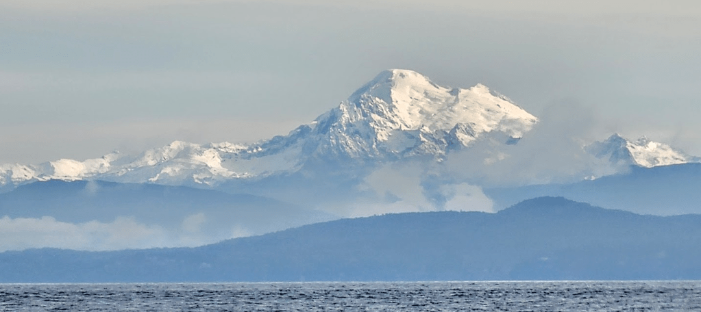
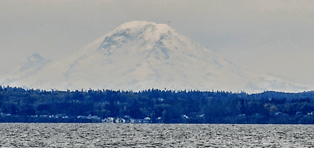
O…Dark…30: Nautical twilight. Garrison Bay. The sun is between 6 and 12 degrees below the horizon. At those angles, there is enough light that ship pilots, in years long past could see the horizon and still see the navigational stars. That allowed them to determine their navigational position and keep traveling to where they needed their ship to go. There is also enough light to give a helmsman an inkling of what was up ahead: Rocks, shallows, logs and other obstacles that could not be seen in low light. Striking any one of them could end an expedition, a captain’s livelihood, and the lives of crew and passengers. Sailing at night, particularly in the shallows, can be a dangerous occupation. When that naming convention arose, it was a time before radar, chart plotters, GPS, AIS and accurate charts.
At Garrison Bay we were waiting for civil twilight when the sun is less than 6 degrees below the horizon. It is the brightest phase of twilight with enough natural light to be able to see rocks, logs, birds that look like logs, crab pots that look like birds, and other obstacles. Chart plotters and radar aren’t designed to care about those things, and the eyeballs of civilians become important navigational tools.
As small boat civilian operators, we spend most of our time outside of the scope of navigational aids designed for big ships. We must rely upon the presence of enough light to enable us to identify objects before they become a nuisance. One must be vigilant.
It was time for Civil Twilight to appear. Right on cue… she marched boldly onto the stage. Gave Nautical a stern, reprising look. Without pause, he shrugged into his traveling cloak and grabbed his walking stick. With that in hand he shuffled off stage. Eyes lowered, he was making his way to where he goes when Light is not yet in full display, but just a glimmer in the eyes of his kindred spirit: Darkness.

The more important archival story: It is claimed that the first white man known to have died on the island was buried on the spot that was and is now called Deadman Bay. That occurred sometime around 1890. It was the “Gay Nineties” for many, but not for this fellow. This unnamed white man apparently criticized a Chinese cook at the Lime Kiln, who killed the offending man with a knife. The Chinese person (not sure if it was a man or woman) was aided to escape from San Juan Island by a farmer who hid him / her in a wagon until he found a vessel that was leaving from Friday Harbor. The story sounds a bit like “Moose Turd Pie”… with an exception for the part about the knife. For those of you who have never heard of the Moose Turd Pie fable recited by Utah Phillips, the frontier humorist, I offer the following delightful rendition via url:(https://www.bing.com/videos/riverview/relatedvideo?q=Mooseturd+pie&mid=CEB2AB4DBFB53D0C6F11CEB2AB4DBFB53D0C6F11&FORM=VIRE)
The second story is mine. Well… it is more a reminiscence than a story, and describes a summer San Juan Island camping experience I had in 1970 or so with a few of my besties. That would be… yikes, 55 years ago. But who’s counting? We used to camp, dive, boat, fish and just hang out in the San Juans. It was an easy to drive to Anacortes and the ferry to Friday Harbor wasn’t expensive.
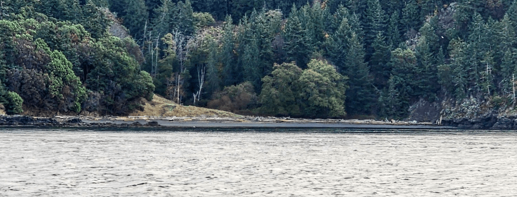
At that time, San Juan Island was overrun with rabbits. I do mean swarming and teemingly overrun. On the way to our camp site on Deadman Bay we ran over a few of them. It wasn’t like we had a deeply imbedded intention to run them over, but they were all over the road. We swerved, but to no avail. By the time we got to Deadman, we had 4 of them in the trunk.
We set up camp, fished a bit, did some snorkeling and by the early afternoon we had a very nice ling cod, some rock fish, a bunch of oysters, clams, and the four skinned, ready to cook rabbits. What to do with all that bounty?
We gutted the fish, seasoned and wrapped them in foil, seasoned the rabbit meat and wrapped it in foil, and dug a shallow pit in the beach sand. After lining the pit with kelp harvested from the beach, we placed our “catch” into the pit, threw the clams and oysters on top and covered it all with more kelp. On top of the kelp we placed an old piece of canvas tarp to hold in the steam and covered the mess with beach sand. Cooking preparations at their finest.
We built a fire on top of the mound and cooked hotdogs for a late lunch and washed that down with a few beers. Yes we were underage by a year or two, but it was the San Juans and no one really cared. Later, we scraped off the coals and sand, pulled off the tarp, gingerly pulled out our bundles of bounty. OMG… back then… it would have been very hard to starve to death in the San Juans. Spectacular seafood, Lucky Lager and Rainier… I can still taste it.
But I digress. Back to the passage:
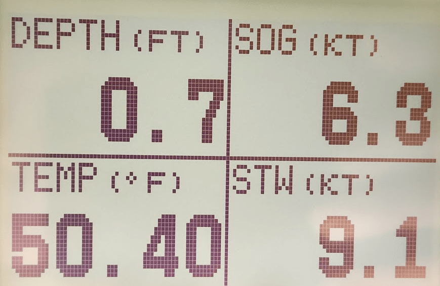
An aside note about strong currents in the Salish Sea:

We do occasionally have to return to civilization to make sure the Creature from the Ludlow Lagoon gets his sustenance.
We’ll spend November in Ludlow then it’s back to Canada. We will be wintering at Port Browing, North Pender Island in the Canadian Gulf Islands.
